UncategorizedHow real-time 3D is transforming inspections, employee training, and decision-makingDiscover how real-time 3D tech revolutionizes inspections, employee training, and decision-making for improved efficiency and accuracy.
UncategorizedUnlocking the power of real-time 3DExplore real-time 3D tech’s impact across industries, from Mira Spatial solutions to Unreal Engine’s powerful tools and applications.
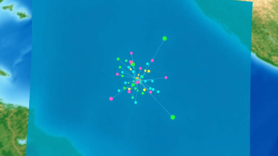
UncategorizedDemocratizing GIS data for your entire organizationDemocratize GIS data organization-wide with Mira Spatial: broad access, collaboration, cloud tools, and self-service analytics.
UncategorizedWhat is spatial data and computingExplore spatial data and computing technologies, their key components, and real-world applications across various industries.
UncategorizedTop benefits of inspecting Right of Ways with dronesDiscover how drone inspections enhance safety, reduce costs, and improve efficiency for Right of Ways in infrastructure management.