Your records fall behind
Sites, structures, and access conditions change. You need current evidence before you plan work or approve a handoff.
Infrastructure intelligence
Verify inspection coverage, find visible conditions, and keep imagery, GIS, reports, and 3D models connected to every site, structure, and corridor.
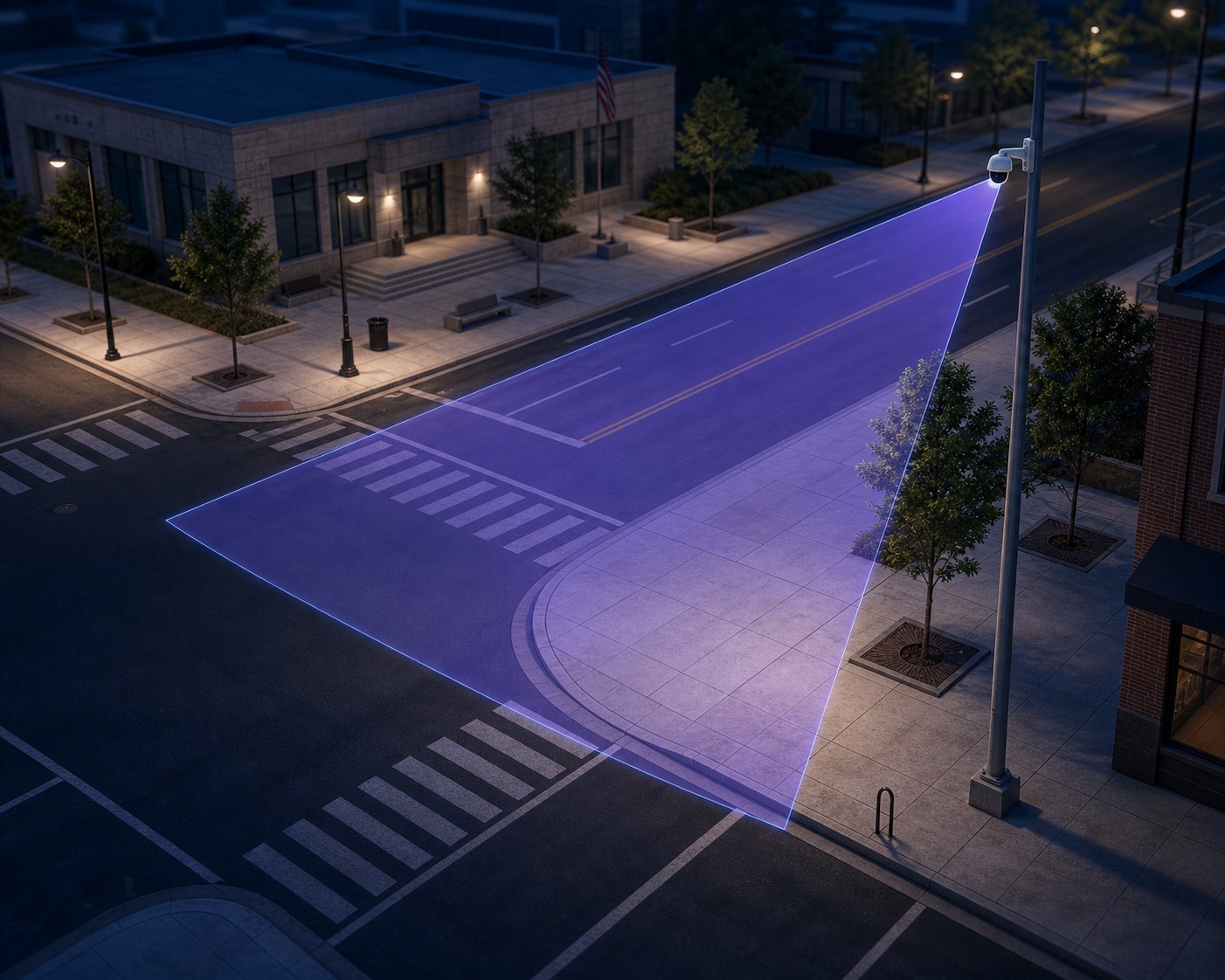
Why connect the workflow?
You get faster answers when capture, inspection, connection, and handoff follow one plan. Mira keeps each finding tied to the evidence your team needs to review, approve, and act.
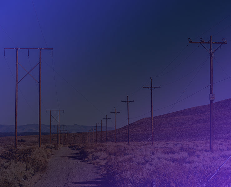
Create a current, complete record.
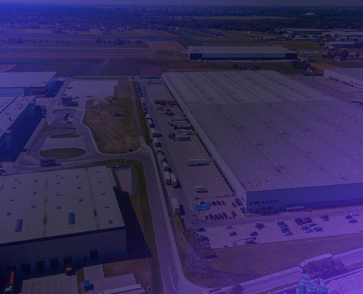
Find gaps and visible conditions.
Connect every finding to place and time.
Give the right team evidence it can use.
Why current data matters
Sites, structures, and access conditions change. You need current evidence before you plan work or approve a handoff.
When imagery, GIS, inspection notes, and history sit in separate systems, your team spends time finding files instead of resolving issues.
You should be able to see what happened, where it happened, when it was observed, and which source proves it.
Why verify before handoff?
If you already have an inspection or reality-capture team in the field, Mira can independently verify coverage, file access, naming, metadata, and handoff requirements before gaps become expensive recapture.
Compare completed field work with your structure list, required views, and acceptance criteria.
Identify missing, duplicate, inaccessible, poorly labeled, or disconnected project files.
Document formats and software dependencies so your information remains available outside one vendor platform.
How Mira helps
Use one service or connect capture, inspection, and delivery in one accountable workflow built around the question you need answered.
Build a repeatable 360° and 4D capture program—or have Mira manage collection—using the sensors, robotics, crews, software, and formats your work requires.
Explore Mira Capture ↗Design the inspection program, verify the collection, and combine AI-assisted screening with subject matter expertise to find what needs follow-up.
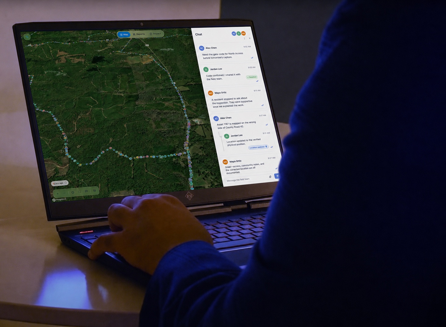
Explore Mira Inspect ↗Connect your existing systems and field evidence with secure, AI-assisted workflows that help siloed teams collaborate, update records, and move from capture to insight faster.
Explore Mira Connect ↗Mira Spatial helps organizations capture, inspect, and visualize physical assets so teams can work with better information across planning, operations, maintenance, and decision-making.
Why delivery matters
You should not need specialized software to answer a basic project question. Receive the evidence as a report, map, dashboard, or 2D or 3D view that fits the way your team works.
See how Mira connects your information ↗Why Mira
Verify required structures, views, and files before crews leave or a project reaches final acceptance.
Keep source imagery, models, metadata, and dependencies organized so your data remains usable.
Connect each finding to its location, capture date, source image, and available infrastructure record.
Receive a report, map, dashboard, or 3D view your reviewers, engineers, and field teams can use.
Practical answers
Jun 5, 2025
Corridor capture should account for route coverage, access, vegetation, source files, and the locations that require closer follow-up.
Jun 4, 2025
Aerial and ground methods answer different questions. The strongest plan often uses both where each is most useful.
Jun 2, 2025
Learn what reality capture includes, which deliverables you may receive, and what to define before field work begins.
Answers before you start
Mira compares your scope, structure list, required views, and acceptance criteria with the delivered imagery, models, metadata, source files, folder structure, and software dependencies. You receive a clear record of gaps and follow-up items.
Mira checks whether the required sites, poles, structures, spans, and views were captured and whether your team can open, locate, understand, and reuse the delivered files.
Often, yes. Mira first reviews the source imagery, overlap, coordinate information, file formats, and intended use. If the existing capture is suitable, it can support a 3D site or infrastructure model without starting over.
Yes, when access, formats, and technical fit allow. Mira can connect imagery, inspection findings, documents, GIS, and available 2D or 3D views without requiring every team to move into one new platform.
Yes. Mira can define equipment, sensors, software integrations, shot lists, naming rules, file formats, quality checks, and handoff requirements for a program your team operates. Mira can also manage the collection using human pilots, drones, robotics, satellites, 360 cameras, and other fit-for-purpose sensors.
No. Use Mira to design your inspection program, verify that the required evidence was collected correctly, assess the evidence with AI-assisted screening and subject matter experts, or combine all three stages.
Yes. Mira can prototype a focused agentic workflow using approved commercial tools, internal software, and your existing systems. The design keeps source evidence, permissions, human review, exports, and your security and compliance requirements visible from the start.
Your next question
Necessary for the site to function. Always on.
Measures usage and improves your experience.
Used for targeted advertising.
Remembers your preferences and provides enhanced features.
Read our Privacy Policy.