
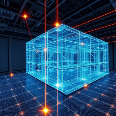
How real-time 3D is transforming inspections, employee training, and decision-making
Discover how real-time 3D tech revolutionizes inspections, employee training, and decision-making for improved efficiency and accuracy.
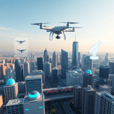
Unlocking the power of real-time 3D
Explore real-time 3D tech’s impact across industries, from Mira Spatial solutions to Unreal Engine’s powerful tools and applications.

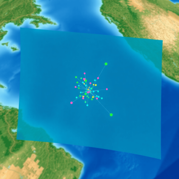
Democratizing GIS data for your entire organization
Democratize GIS data organization-wide with Mira Spatial: broad access, collaboration, cloud tools, and self-service analytics.
What is spatial data and computing
Explore spatial data and computing technologies, their key components, and real-world applications across various industries.
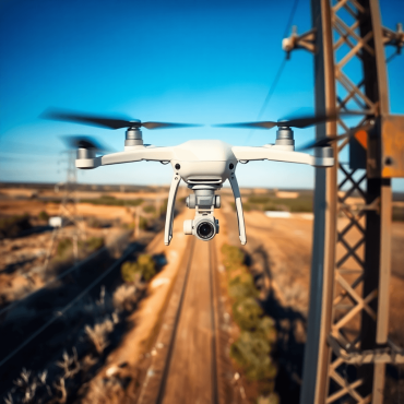
Top benefits of inspecting Right of Ways with drones
Discover how drone inspections enhance safety, reduce costs, and improve efficiency for Right of Ways in infrastructure management.
Aerial Capture vs. Traditional Methods: Pros and Cons for 2025
Explore the pros and cons of aerial capture vs. traditional methods in infrastructure management for 2025. Discover key insights and trends.

Collaborative Approaches to Solving Infrastructure Challenges
Explore collaborative strategies for tackling infrastructure challenges, enhancing community engagement, and leveraging nature-based solutions.
What is reality capture
Explore reality capture tech like 3D scanning and LiDAR to boost accuracy, efficiency, and innovation across industries.
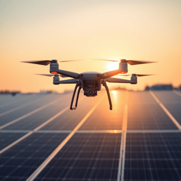
Top benefits of inspecting Rooftop Solar Installations with drones
Discover the benefits of using drones for rooftop solar inspections: efficiency, cost savings, safety improvements, and detailed data collection.
Top considerations when selecting a vendor to augment your wildfire prevention efforts.
Learn how to select qualified wildfire prevention vendors, evaluate proposals, and ensure compliance for effective risk reduction efforts.