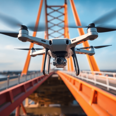
Innovative Inspection Techniques for Aging Infrastructure
Explore innovative inspection techniques for aging infrastructure, enhancing safety and functionality with advanced technology and AI insights.
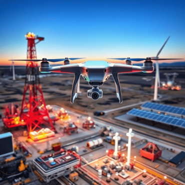
Enhancing Safety in Energy Sectors Through Advanced Technology
Explore how advanced technology enhances safety in the energy sector, addressing challenges and showcasing Mira Spatial’s innovative solutions.

The Future of Infrastructure Management: Key Innovations to Watch
Explore key innovations in infrastructure management, from smart cities to AI, driving efficiency and sustainability for the future.

The Role of Thermal Imaging in Enhancing Grid Reliability
Discover how thermal imaging enhances grid reliability, enabling proactive maintenance and efficient infrastructure management with Mira Spatial.

Maximizing Property Performance with Advanced Monitoring Solutions
Maximize property performance with Mira Spatial’s advanced monitoring solutions for energy efficiency, cost savings, and tenant comfort.
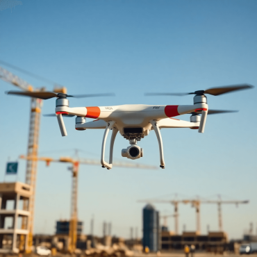
Comprehensive Guide to Aerial Capture Technology in Construction
Explore how aerial capture technology transforms construction with improved efficiency, safety, and real-time data collection.

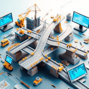
Reality Capture is changing infrastructure and asset management
Discover how reality capture technology revolutionizes infrastructure management through advanced data collection, improving efficiency and reducing risks.
The benefits of 3D Visualization for critical infrastructure maintenance.
Explore the benefits of 3D visualization in critical infrastructure maintenance, enhancing communication, planning, safety, and cost efficiency.

Emerging Trends in Reality Capture for Infrastructure Management 2025
Explore the top emerging trends in reality capture for infrastructure management in 2025, enhancing efficiency and decision-making.