What is reality capture? At its core, reality capture is the process of digitally documenting physical environments. This involves creating highly accurate digital representations of real-world objects, spaces, or entire sites. The goal is to translate the physical world into precise, usable data that can support design, analysis, maintenance, and decision-making.
Accurate digital documentation matters because it allows you to:
- Preserve detailed information about existing conditions
- Reduce errors caused by manual measurements
- Improve collaboration through shared visual data
Several advanced technologies make reality capture possible:
- 3D scanning technology uses laser or structured light to collect spatial data points with high precision.
- Photogrammetry reconstructs 3D models from overlapping photographic images taken at different angles.
- LiDAR (Light Detection and Ranging) employs laser pulses to measure distances and generate detailed terrain or object maps.
Each technology offers unique strengths depending on your project’s requirements, whether capturing intricate architectural details or large-scale landscapes. Understanding these foundational tools helps you choose the best method for your reality capture needs.
Key Technologies Behind Reality Capture
Reality capture relies on several advanced technologies to create high-fidelity digital representations of physical environments. Understanding these core methods helps you appreciate how precise and versatile reality capture can be.
Laser Scanning
Laser scanning uses a laser beam to measure distances between the scanner and target surfaces. This technique captures precise spatial data by emitting millions of laser pulses per second, then recording the time it takes for each pulse to reflect back. The resulting point cloud forms a highly detailed 3D model of the scanned environment. You find laser scanning widely used in construction and surveying because it delivers accuracy down to millimeters, making it ideal for complex structures and large-scale projects.
Photogrammetry
Photogrammetry creates 3D models by analyzing multiple overlapping images taken from different angles. Software algorithms detect common points across these photos and triangulate their positions in space. This image-based approach is cost-effective and accessible since it only requires standard cameras or drones equipped with cameras. Photogrammetry excels at capturing textures and colors alongside geometry, which is why it’s popular for cultural heritage preservation and outdoor mapping.
LiDAR (Light Detection and Ranging)
LiDAR combines laser scanning principles with GPS technology to generate precise topographic maps and 3D models. It measures distances by timing reflected laser pulses but adds geospatial coordinates, enabling accurate positioning over wide areas. LiDAR is invaluable in mapping terrains, forest canopies, urban infrastructure, and even underwater environments when mounted on specialized platforms.
Structured Light Scanning
Structured light scanning projects a pattern of light onto an object’s surface while cameras capture its deformation caused by the contours. By analyzing this distortion, the system calculates exact surface geometry with high resolution. This method suits applications requiring fine detail, such as reverse engineering, quality control in manufacturing, and medical imaging.
Thermal Imaging
Thermal imaging captures infrared radiation emitted by objects to produce temperature maps alongside visual data. Integrating thermal imaging into reality capture allows detection of anomalies invisible to the naked eye—like heat leaks in buildings, electrical faults, or moisture intrusion. When combined with 3D models, thermal data enhances inspection workflows by revealing hidden issues efficiently.
These technologies often work together within comprehensive reality capture solutions to deliver rich datasets that support diverse industries—from construction verification to environmental monitoring—empowering you with actionable intelligence grounded in accurate spatial understanding.
Applications and Industry Use Cases
Reality capture is changing many industries by providing highly accurate digital representations of physical spaces. Its impact is particularly significant in construction, where it streamlines processes and improves results.
Applications in Construction
Here are some specific ways reality capture is being used in construction:
- Work-in-place verification: Reality capture enables real-time comparison between the actual site conditions and project plans. This validation helps identify deviations early, reducing costly rework.
- Quality control: Captured data supports precise measurements and defect detection, ensuring construction meets design specifications.
- Safety inspections: Digital models allow inspectors to assess hard-to-reach or hazardous areas remotely, enhancing worker safety while maintaining thorough evaluations.
- Dispute resolution: Accurate records of site progress and conditions create objective evidence that resolves conflicts between contractors, clients, and stakeholders.
- Stakeholder communication: Visualizations based on reality capture facilitate clear updates and collaborative decision-making among teams and clients.
Applications Beyond Construction
Beyond construction, reality capture has important applications in other fields as well:
- Cultural heritage preservation: Digitizing artifacts, historic structures, and archaeological sites safeguards their details against deterioration or loss. High-resolution 3D models created through photogrammetry or laser scanning enable researchers, conservators, and the public to explore cultural treasures virtually while preserving originals.
- Surveying and mapping: LiDAR and drone-based photogrammetry generate detailed topographic maps that support land development, environmental monitoring, and infrastructure planning. These precise spatial datasets improve the quality of geographic information systems (GIS) used by professionals across disciplines.
- Virtual reality (VR) integration: Architects, game developers, and urban planners use reality capture data to create realistic virtual worlds for design reviews, training simulations, or entertainment applications. VR integration adds depth to spatial understanding beyond traditional 2D screens.
The wide range of applications shows how reality capture technology is expanding its influence across various industries — from building smart infrastructures to preserving history and enabling innovative digital experiences.
Benefits of Reality Capture in Modern Workflows
Reality capture technology is changing the way we work today. It makes tasks like surveys and inspections easier by automating them, so we no longer have to rely on manual measurements that take a lot of time and effort. Instead, we can use advanced tools such as 3D scanning and LiDAR to quickly and accurately gather spatial data.
1. Reduction of manual measurement efforts through automated surveys and inspections
With reality capture, we can say goodbye to the old-fashioned way of measuring things by hand. This new technology allows us to automate surveys and inspections, which means we don’t have to spend hours or even days measuring every single detail manually. Instead, we can simply use our devices to capture everything in one go. This shift towards automation not only simplifies our tasks but also significantly reduces the efforts involved in manual measurements.
2. Enhancement of project efficiency and accuracy by providing precise spatial information
The benefits of this automation go beyond just saving time. By using reality capture, we also improve the efficiency and accuracy of our projects. The data we collect is now more precise than ever before, thanks to the advanced techniques used in 3D scanning and LiDAR. This means less room for errors and a higher quality end result.
Overall, reality capture is transforming modern workflows for the better. It streamlines processes, boosts productivity, and consistently delivers top-notch outcomes.
Mira Spatial’s Approach to Reality Capture Solutions
Mira Spatial focuses on transforming infrastructure management through advanced infrastructure monitoring technology combined with reality capture. Their mission centers on delivering precise, actionable intelligence that supports real-time decision-making and long-term asset sustainability.
Key components of their approach include:
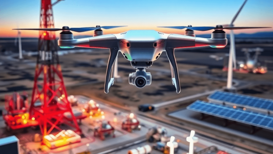
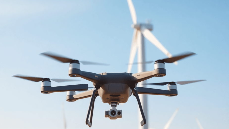
- Real-time asset tracking: Continuous monitoring of infrastructure assets using drones, satellites, and sensor data ensures up-to-date spatial information.
- Predictive maintenance: Leveraging an AI analytics platform, Mira Spatial identifies potential risks and anomalies before failures occur, reducing downtime and repair costs.
- Comprehensive data integration: Combining high-resolution imagery, 3D mapping, and sensor feeds for a detailed digital twin of physical assets.
This integrated solution empowers industries such as energy, construction, and local governments to optimize operations by merging reality capture with intelligent analytics—making infrastructure management more proactive and efficient.
Challenges in Implementing Reality Capture Solutions Effectively
Implementing reality capture solutions involves several practical hurdles that can impact project success.
1. Frequent Data Capture Logistics
Maintaining up-to-date digital representations requires regular scanning or imaging sessions. Scheduling and executing these frequent data captures can be complex, especially across large or remote sites. You must coordinate equipment availability, environmental conditions, and access permissions to ensure consistent data flow.
2. Data Quality Management Challenges
Ensuring high-quality, accurate data is critical. Variations in lighting, surface reflectivity, or sensor calibration can introduce errors. You need robust protocols for data validation and correction to maintain reliability in your digital models.
3. Cost Implications
Advanced technologies like LiDAR scanners, drones, and sophisticated software platforms carry significant upfront and operational costs. Budgeting for equipment acquisition, maintenance, data processing infrastructure, and skilled personnel is essential to sustain effective reality capture workflows.
Addressing these challenges requires careful planning and resource allocation to fully leverage reality capture’s potential in your projects.
Best Practices for Maximizing the Effectiveness of Reality Capture Solutions
1. Importance of Regular Reality Capture Sessions
Conducting frequent reality capture sessions is essential to ensure that digital representations of physical environments remain current and accurate. By regularly updating captured data, organizations can track changes over time and maintain up-to-date information for decision-making processes.
2. Strategies for Seamless Data Integration
To maximize the effectiveness of reality capture solutions, it is crucial to integrate captured data seamlessly into existing workflows. This integration allows for improved coordination among team members and facilitates data-driven decision-making. By establishing efficient processes for data management and sharing, organizations can leverage reality capture technology to its full potential.
By following these best practices, organizations can harness the power of reality capture solutions to drive operational efficiencies and enhance their workflows. Regular data updates and streamlined integration processes are key factors in optimizing the results obtained from utilizing reality capture technology.
The Future Trends Shaping Reality Capture Technology
The integration of AI-driven analytics represents a significant advancement in the field of reality capture technology. By leveraging artificial intelligence, companies can now combine reality capture data with sophisticated reporting tools to extract valuable insights efficiently. This merging of technologies enables more accurate spatial data analysis and streamlined decision-making processes.
Furthermore, the development of automated infrastructure monitoring systems is revolutionizing how organizations manage their assets. These systems offer near-real-time updates remotely, allowing for proactive maintenance and improved operational efficiencies. By continuously monitoring critical infrastructure through reality capture technology, businesses can address issues promptly and prevent costly downtime, ultimately shaping the future landscape of asset management and maintenance strategies.
Conclusion
Understanding what is reality capture reveals its crucial role in the digital transformation of infrastructure. Organizations in various industries such as construction, energy, and government can use these technologies to:
- Drive operational efficiencies by automating data collection and analysis
- Enhance accuracy in asset monitoring and maintenance planning
- Improve stakeholder communication through precise digital models
- Reduce risks associated with manual inspections and outdated information
The benefits gained from using reality capture go beyond just documentation. They give decision-makers actionable intelligence, support predictive maintenance strategies, and enable real-time monitoring that adapts to changing conditions. Companies that use these tools position themselves as leaders in innovation, creating value while managing complex infrastructure more effectively.
For industries looking to modernize workflows and maintain a competitive edge in a rapidly changing digital world, embracing reality capture technology is no longer optional but necessary.
FAQs (Frequently Asked Questions)
and why is it important in digital documentation?
Reality capture is the process of digitally documenting physical environments using technologies such as 3D scanning, photogrammetry, and LiDAR. It is important because it creates accurate digital representations that support various applications including construction, cultural heritage preservation, and virtual reality integration.
Which key technologies are involved in reality capture and how do they work?
Key technologies in reality capture include 3D scanning, photogrammetry, LiDAR, structured light scanning, and thermal imaging. Laser scanning captures precise spatial data; photogrammetry uses images to generate 3D models; LiDAR is applied in mapping and surveying; structured light scanning and thermal imaging enhance data capture for detailed analysis.
How does reality capture benefit industries like construction and cultural heritage preservation?
In construction, reality capture supports work-in-place verification, quality control, safety inspections, dispute resolution, and stakeholder communication. For cultural heritage preservation, it enables digitizing artifacts and sites to maintain accurate records. These applications improve project efficiency and ensure precise spatial accuracy.
What challenges are associated with implementing reality capture solutions effectively?
Challenges include managing data quality during frequent data captures to keep information up-to-date, addressing logistical issues related to capturing data regularly, and handling the cost implications of acquiring and operating advanced reality capture technologies.
How does Mira Spatial approach reality capture solutions for infrastructure management?
Mira Spatial revolutionizes infrastructure management by integrating reality capture technology with an AI analytics platform. Their comprehensive solutions provide real-time asset tracking and predictive maintenance capabilities that enhance monitoring efficiency and operational decision-making.
What future trends are shaping the development of reality capture technology?
Future trends include AI-driven analytics platforms that combine reality capture data with intelligent reporting tools, enabling automated infrastructure monitoring systems. These advancements provide near-real-time updates remotely, driving digital transformation and operational efficiencies across multiple industries.