
Capture
Use drone, satellite, 360, visual, thermal, LiDAR, or your existing data to document the condition you need to understand.
Technology
Keep every finding and AI-assisted result traceable to the field image, site, structure, map, report, or 3D view your team uses to make a decision.
Use drone, satellite, 360, visual, thermal, LiDAR, or your existing data to document the condition you need to understand.
Verify coverage, compare observations, and document gaps, visible conditions, and changes that require review.
Connect each finding to GIS, structure and site records, capture dates, history, documents, and source imagery.
Give your team a report, map, dashboard, or 2D or 3D infrastructure view it can use without chasing the evidence.
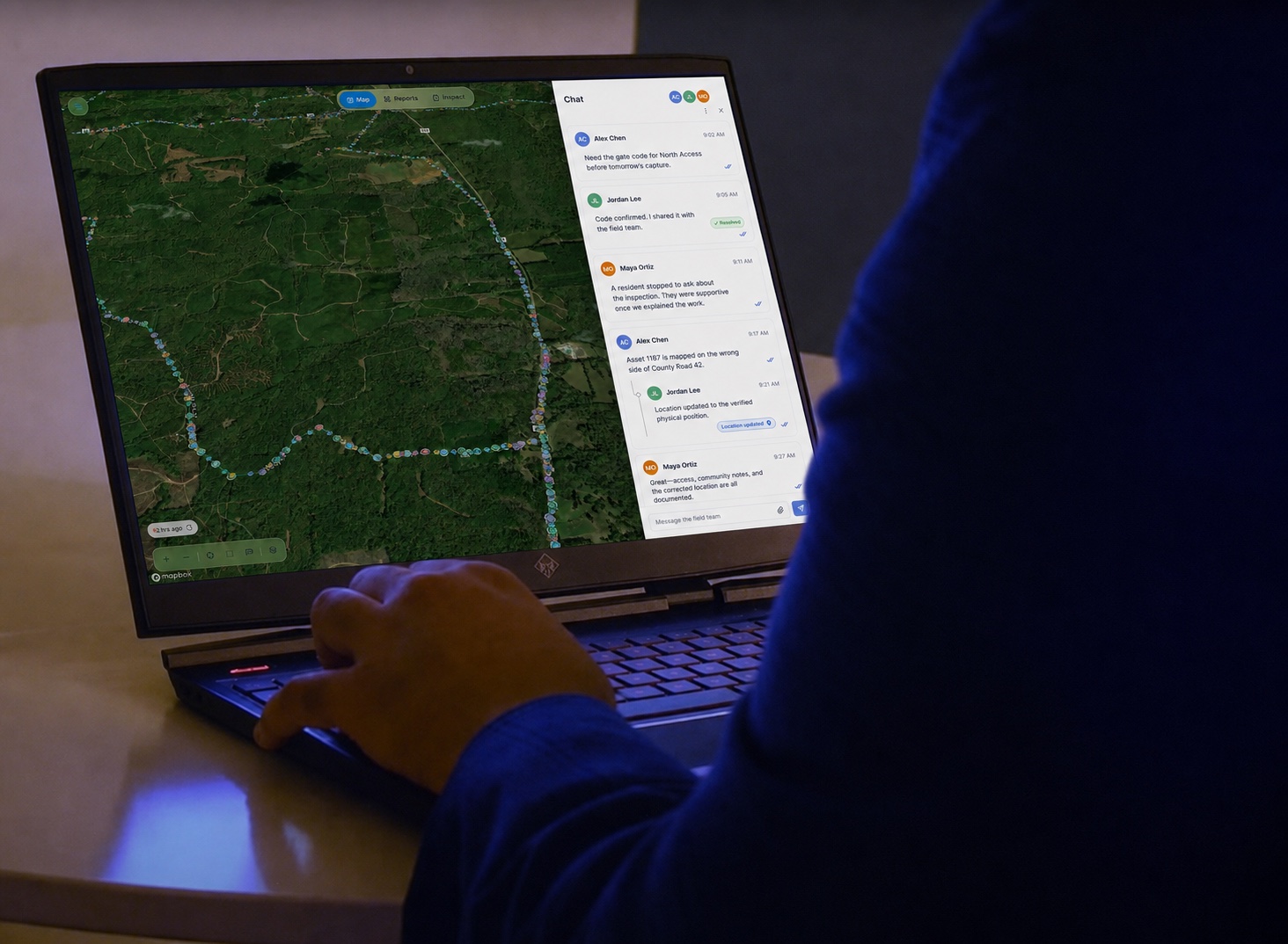
Why delivery matters
You receive the evidence in the simplest useful format for your work: a concise report, an annotated map, a focused dashboard, or an interactive 2D or 3D infrastructure view.
How your workflow stays traceable
Open a finding and see the image, location, structure or site, capture date, and available history that support it.
Your review need determines which cameras, sensors, GIS, capture software, commercial platforms, and existing systems should be connected.
Trace every finding to its sourceYour team can move from a summary observation back to the image, location, date, and record that support it.
Where AI fits
Use AI to organize evidence, surface anomalies, connect records, and move routine work forward while your approved reviewers retain control of decisions.
Use a focused prototype to prove value, define requirements, and move into a production implementation with less uncertainty.
Combine off-the-shelf tools, Mira software, and custom agents around the GIS, inspection, document, and work systems you already use.
Build permissions, evidence links, human review, auditability, exports, retention, and security requirements into the workflow.
Start with your workflow
Necessary for the site to function. Always on.
Measures usage and improves your experience.
Used for targeted advertising.
Remembers your preferences and provides enhanced features.
Read our Privacy Policy.