Introduction
Aerial capture technology has become a game-changer in construction projects. This innovative method uses advanced tools like drones and satellite imagery to gather valuable visual data, improving project management and execution.
Key benefits of aerial capture technology include:
- Improved Efficiency: Real-time data collection speeds up decision-making processes.
- Cost-Effectiveness: Reduces labor and material costs through quick assessments.
- Safety Enhancements: Minimizes risks by allowing access to dangerous areas without putting humans in danger.
This guide aims to provide a comprehensive understanding of aerial capture technology. It will explore its applications, benefits, and future trends, showing how this technology is transforming construction management for better project outcomes.
Understanding Aerial Capture Technology
Aerial capture technology includes a variety of advanced tools created to gather visual information that is crucial for contemporary construction methods. This technology is vital in improving project efficiency, accuracy, and safety.
What is Aerial Capture Technology?
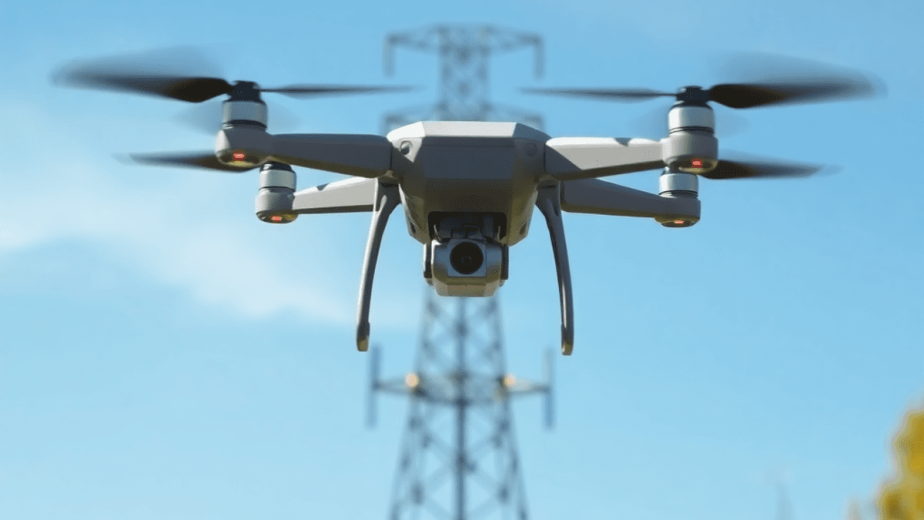
Aerial capture technology involves using devices that operate from an elevated position to collect data about construction sites. This primarily includes drones, also known as Unmanned Aerial Vehicles (UAVs), which have transformed the way information is gathered and used in construction. These devices use high-resolution cameras and sensors to enable immediate monitoring and assessment.
Different Types of Aerial Capture Devices
There are two main types of aerial capture devices used in construction:
- Drones (UAVs): Drones are equipped with cameras and GPS technology, allowing them to fly automatically over large areas. They are capable of capturing detailed images and videos, providing comprehensive visual data for analysis.
- Satellites: Satellites use remote sensing technology to collect extensive geographical data. They have the ability to observe large areas from a distance, making them beneficial for bigger projects or regions.
Both drones and satellites play a crucial role in gathering visual information that aids decision-making throughout the construction process. They offer insights into site conditions, track progress against schedules, and improve overall project management.
As the construction industry continues to adopt new technologies, aerial capture technology emerges as a key factor in promoting efficiency and accuracy while prioritizing safety on-site.
Benefits of Aerial Capture Technology in Construction Projects
1. Enhanced Efficiency and Cost-Effectiveness
Aerial capture technology, particularly through drone utilization, has transformed the landscape of construction project management by significantly improving efficiency. The ability to collect real-time data allows construction teams to make timely decisions that optimize operational workflows. Drones equipped with high-resolution cameras can cover extensive areas in a fraction of the time it would take traditional ground-based methods.
Key advantages include:
- Rapid Data Collection: Drones can conduct surveys and gather visual data much faster than manual inspections. For instance, a typical site survey that may take several days can be accomplished within hours using drone technology.
- High-Quality Imagery: Aerial images captured from drones provide detailed views of the construction site, facilitating better assessment and planning. This level of detail supports effective communication among stakeholders, allowing for swift identification of potential issues.
The cost-effectiveness of aerial capture technology compared to traditional methods is noteworthy. Traditional surveying techniques often involve extensive labor costs, equipment rentals, and time delays. In contrast, drones minimize these costs through:
- Reduced Labor Requirements: With fewer personnel needed on-site for surveying tasks, labor expenses decrease. Drones require minimal human oversight during flights, which streamlines operations.
- Lower Equipment Costs: Utilizing drones negates the need for expensive scaffolding or lifting equipment necessary for manual inspections in hard-to-reach areas.
A comparative analysis demonstrates this shift towards aerial capture technology yields a significant return on investment (ROI). Many construction firms report reductions in project costs ranging from 20% to 50% due to enhanced efficiency brought about by accurate and immediate data collection.
Drones also contribute to improved safety measures within construction environments. By accessing hazardous or challenging locations without risking worker safety, companies can adhere to stringent safety regulations while maintaining productivity levels.
In addition to immediate financial benefits, the long-term impacts on project timelines are profound:
- Timely Issue Identification: Real-time data enables teams to identify discrepancies early in the project lifecycle, allowing for prompt corrective actions before they escalate into costly delays.
- Streamlined Project Management: With rapid access to site data and insights through aerial imagery, project managers can implement more effective scheduling and resource allocation strategies.
Embracing aerial capture technology not only enhances efficiency but also fosters a culture of innovation within construction projects. Companies like Mira Spatial exemplify this transformation through their end-to-end solutions that leverage advanced technology for infrastructure monitoring and analytics. This comprehensive approach ensures that construction firms remain competitive in a rapidly evolving industry landscape where innovation plays a crucial role in achieving successful project outcomes.
As the industry continues to adopt these technologies, the integration of aerial capture systems will likely become a standard practice across various sectors within construction management.
2. Improved Safety Measures on Site
The integration of aerial capture technology, particularly drone usage, significantly enhances safety measures in construction environments. This advancement provides various benefits:
- Hazard Access: Drones can navigate hazardous or hard-to-reach areas without the need for workers to physically enter potentially dangerous zones. This capability minimizes the risk of accidents and injuries.
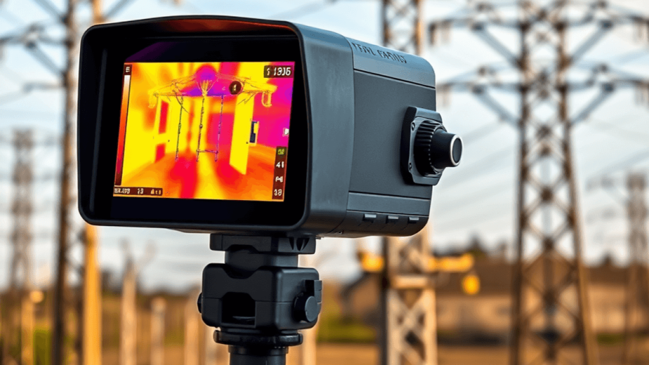
- Real-Time Data Collection: Aerial devices gather real-time data from challenging locations, enabling teams to assess conditions promptly. Immediate access to high-resolution imagery facilitates informed decision-making regarding site safety.
- Fast Coverage: Drones cover extensive areas rapidly, allowing for the swift identification of potential hazards or structural concerns. This quick response capability aids in addressing issues before they escalate, ensuring worker safety remains a top priority.
- Enhanced Monitoring: Regular drone inspections create a comprehensive overview of the construction site, fostering proactive safety management. By continuously monitoring conditions, teams can anticipate risks and implement mitigation strategies effectively.
Adopting aerial capture technology not only improves efficiency and cost-effectiveness but also establishes a safer working environment—an essential aspect of modern construction practices within this Comprehensive Guide to Aerial Capture Technology in Construction.
3. Better Communication with Stakeholders Using Visual Documentation
Aerial capture technology is crucial in improving communication among stakeholders in construction projects. By using aerial imagery, we can provide clear visual documentation that fills in information gaps, promoting transparency and collaboration. Here are the key benefits:
- Real-Time Data Collection: Drones make it possible to quickly gather data, enabling stakeholders to make informed decisions based on the current state of the project.
- Fast Coverage: Aerial devices can cover large areas in a short amount of time, allowing teams to efficiently document progress and changes.
- Visual Clarity: High-resolution images and videos are powerful tools for conveying project updates, making complex information easy to understand.
These improvements lead to better efficiency and cost-effectiveness by reducing misunderstandings and miscommunication. Stakeholders can see project milestones through detailed aerial views, resulting in better alignment on goals and expectations.
Additionally, sharing this visual documentation with clients, architects, and engineers increases engagement throughout the project. Aerial imagery not only displays ongoing work but also emphasizes compliance with safety improvements and design specifications.
By using aerial capture technology to establish effective communication channels, construction projects can enhance collaboration and execution.
Applications of Aerial Capture Technology in Construction Management
1. Progress Monitoring and Issue Identification During Project Lifecycle
The integration of aerial capture technology into construction management has transformed how progress is monitored and issues are identified throughout the project lifecycle. Drones are now being used for regular flyovers, allowing project managers to gather accurate and up-to-date information about construction timelines. Here are some of the key benefits of using this technology for monitoring:
1. Real-Time Data Collection
Drones have the capability to capture high-resolution images and video footage, providing a comprehensive view of the construction site. This real-time data enables project managers to assess progress against established deadlines effectively.
2. Early Problem Detection
By conducting regular drone surveys, potential issues can be identified early on. This proactive approach allows teams to address any discrepancies or delays promptly, preventing costly overruns.
3. Enhanced Visibility
Aerial imagery obtained from drones enhances visibility into hard-to-reach areas or large expanses that are challenging to monitor through traditional means. This capability is critical for identifying specific problems that may not be visible from ground level.
4. Accurate Timeline Tracking
With precise visual documentation provided by drones, project managers can compare current progress with planned milestones. This comparison offers clear insights into whether a project is adhering to its timeline.
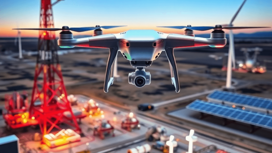
One notable example of how aerial capture technology is being utilized in construction management is through the work being done by Mira Spatial. They specialize in infrastructure monitoring within the energy sector using advanced drone technology.
Their drone services offer real-time asset tracking and predictive maintenance through regular aerial surveys. Such an approach has proven invaluable for electric utilities managing extensive networks of transmission lines and substations.
Another significant application of aerial capture technology in construction management is quality control and assurance during the building process.
High-resolution aerial images serve as a reference point against design specifications, ensuring that work aligns with regulatory requirements and client expectations.
Here are some benefits associated with using drones for quality control:
- Validation Against Design Specifications: Quality assurance teams can utilize aerial imagery to verify that construction adheres to architectural plans and safety standards.
- Streamlined Reporting: Visual documentation generated by drones simplifies reporting processes for stakeholders by providing concrete evidence of work quality.
The use of aerial capture technology also promotes improved collaboration among project stakeholders involved in construction projects.
When integrated with platforms and other data management systems, information collected from drone surveys enhances communication across teams working on various stages of a project.
Regular drone flyovers play a crucial role in transforming how construction management operates today. By delivering actionable intelligence throughout the entire lifecycle of a project, these innovations pave the way for enhanced operational efficiency and superior outcomes in an increasingly competitive industry landscape.
2. Quality Control and Assurance Using Aerial Images Against Design Specifications
Aerial capture technology offers construction teams an innovative solution for ensuring quality control throughout the project lifecycle. High-resolution aerial images provide a comprehensive view of the construction site, enabling precise validation against established design specifications.
Key aspects of utilizing aerial imagery for quality assurance include:
- Visual Comparison: Aerial images allow project managers to compare the actual progress with the planned designs. This visual documentation facilitates immediate identification of discrepancies, aiding timely corrective actions.
- Precision in Measurement: Drones equipped with advanced imaging technologies can capture data with remarkable accuracy. This high level of detail supports rigorous assessments against design specifications, assuring that structural integrity is maintained.
- Regular Updates: Conducting regular drone flyovers generates continuous updates on work quality. These updates play a crucial role in progress monitoring, allowing teams to track developments and identify issues promptly.
- Documentation and Reporting: Aerial imagery serves as a compelling tool for documenting compliance with quality standards. Reports generated from these images help stakeholders understand project status and inform decision-making processes.
By integrating aerial capture technology into quality control measures, construction teams enhance their ability to validate work against design specifications effectively. The combination of real-time data and detailed visual assessments transforms traditional quality assurance practices, fostering higher standards in project execution.
3. Data Integration for Improved Collaboration Throughout Projects
Integrating captured data into collaboration platforms is essential for optimizing construction management. This integration allows stakeholders to engage with real-time data, enhancing their decision-making process.
Key benefits include:
- Progress Monitoring: Regular updates through aerial imagery enable teams to track project timelines and milestones effectively. This leads to timely interventions when discrepancies arise.
- Quality Control: High-resolution images make it easier to validate work quality against design specifications, ensuring alignment with project goals.
- Seamless Collaboration: A centralized platform facilitates communication among architects, engineers, and construction teams, reducing the risk of miscommunication and errors.
- Data Visualization: Interactive dashboards within tools present complex data in an accessible format, allowing stakeholders to visualize progress and quality at a glance.
The integration of aerial capture technology streamlines all phases of construction projects. It aligns with the mission of companies like Mira Spatial, which focuses on delivering actionable intelligence through advanced technology. Utilizing comprehensive solutions such as Mira Capture, organizations can harness high-precision mapping for informed decision-making.
As construction practices evolve, embracing these technologies not only enhances operational efficiency but also fosters a culture of continuous collaboration and improvement. This transformative approach is integral for meeting modern construction challenges while ensuring successful project outcomes.
Future Trends in Aerial Capture Technology for Construction Industry Growth
Anticipated developments in aerial capture technology promise to further transform construction practices. Key trends include:
- Increased Autonomy: Drones equipped with advanced AI will operate independently, enabling continuous monitoring without human oversight.
- Enhanced Data Analytics: Integration of machine learning algorithms will provide deeper insights from captured data, facilitating predictive maintenance and risk assessment.
- Real-Time Collaboration Platforms: Future platforms will allow stakeholders to access live aerial data, improving decision-making processes instantly.
- Regulatory Advancements: Easing regulations on drone usage will expand deployment opportunities across various construction projects.
These technological advancements forecast a future where aerial capture technology becomes indispensable in construction management. By embracing these innovations, the industry can achieve unmatched efficiency and safety standards, marking a significant shift in how construction projects are executed and monitored.