
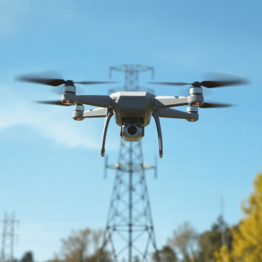
Top benefits of inspecting Electric Utilities with drones
Discover how drone technology enhances electric utility inspections with improved safety, cost efficiency, speed, and data accuracy.

Making GIS more accessible and collaborative
Explore how browser-based GIS boosts accessibility, real-time collaboration, and efficient infrastructure management for all organizations.
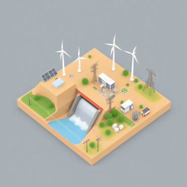
How Mira Spatial helps identify risks for electric utilities and critical infrastructure management?
Discover how Mira Spatial uses advanced tech to identify risks and boost safety for electric utilities and critical infrastructure.

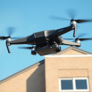
Top benefits of inspecting Construction Sites with drones
Discover how drones enhance construction site inspections with improved safety, cost efficiency, real-time monitoring, and data accuracy.
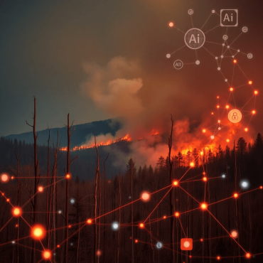
How AI is transforming wildfire prevention?
Discover how AI and traditional knowledge unite to revolutionize wildfire prediction, detection, and prevention strategies.
Top benefits of inspecting Commercial Roofs with drones
Discover how drone technology transforms commercial roof inspections with enhanced safety, efficiency, cost savings, and detailed data analysis.
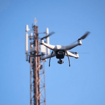
Top benefits of inspecting Cell Towers with drones
Discover the top benefits of using drones for cell tower inspections, including safety, cost savings, speed, and data accuracy.

How did May become the month for Wildfire Prevention?
Discover why May is Wildfire Prevention Month and learn key steps to reduce risks and prepare your community effectively.
Top benefits of inspecting Transmission Towers with drones
Discover how drone inspections enhance safety, speed, and cost efficiency for transmission towers with real-time data collection benefits.

Top benefits of inspecting Distribution Power Poles with drones
Discover the top benefits of drone inspections for distribution power poles, including safety, cost savings, and enhanced data collection.